What on Earth? Season 6 Episode 1 World's Deadliest Threats
- TVPG
- June 6, 2019
- 84 min
What on Earth? is a documentary television series that airs on the Science Channel. The show explores some of the world's most mysterious and unexplained phenomena captured by satellite imagery. In season 6 episode 1 of the show, titled "World's Deadliest Threats", viewers are taken on a tour of some of the most dangerous and deadly threats that exist on our planet today.
From deadly animals to man-made hazards, the show uncovers some of the most terrifying and complicated threats that humans have to face. The episode begins by showcasing the Choluteca Bridge in Honduras, which is infamous for its dangerous conditions that put the lives of commuters at risk. The episode delves into the history and construction of this bridge, highlighting some of the engineering oversights that have led to its unstable and dangerous condition.
The show then takes us to the Amazon rainforest, where deadly animals such as the jaguar and the anaconda are known to roam. Using satellite imagery, the show reveals how these elusive creatures hide and move in their natural habitats. The episode highlights the dangers that these creatures pose to humans, and explores the unique adaptations that they have developed to survive in their demanding environments.
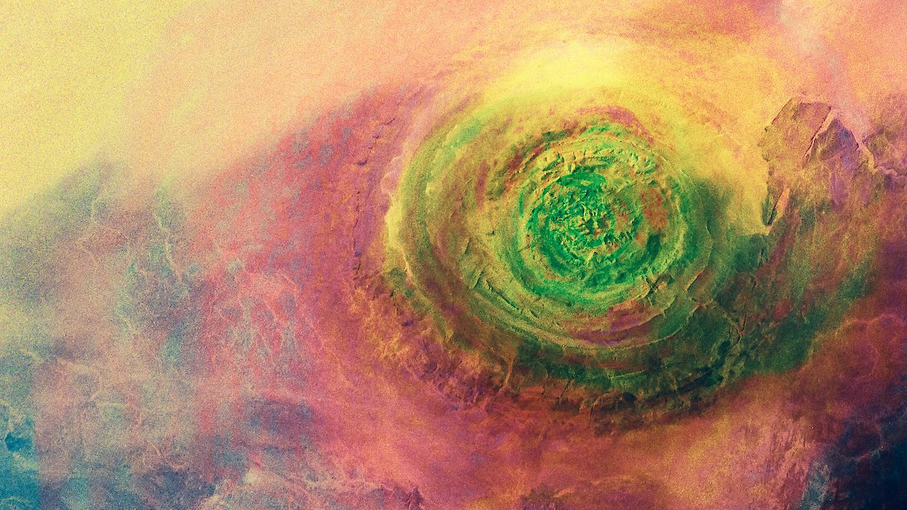
Moving on, the episode takes us to the volcanic island of Montserrat in the Caribbean, where a deadly volcanic eruption occurred in 1995 and forced a mass evacuation. The show uses satellite imagery to highlight the long-lasting impact that this eruption has had on the island, and how people are still struggling to rebuild their lives in its aftermath.
Next, the episode takes viewers to the UK's notorious Dartmoor Prison, where some of the most dangerous criminals are housed. The show uses satellite imagery and 3D modeling to explore the physical and digital security measures that have been put in place to prevent prison escapes, and how technology is being used to monitor the inmates' movements.
The episode then takes us to the Gaza strip, one of the most heavily disputed regions in the world, and uses satellite imagery to explore the ongoing conflict between Israel and Palestine. The show highlights how satellite imagery is being used to monitor the movement of people and equipment on the ground, and how these images are being analyzed to understand the dynamics of the conflict.
Lastly, the episode takes viewers to the Staten Island landfill in New York City, which was once the largest landfill in the world and posed a significant environmental hazard. The show uses satellite imagery to reveal how this landfill has been transformed into a park, highlighting the positive efforts that have been made to mitigate the adverse effects of the landfill on the surrounding environment.
Throughout the episode, What on Earth? uses a combination of satellite imagery, 3D modeling, and expert commentary to unravel the mysteries and dangers that exist in our world. The show highlights the power of technology and scientific inquiry to understand and address some of the most pressing environmental and social challenges that exist today.